
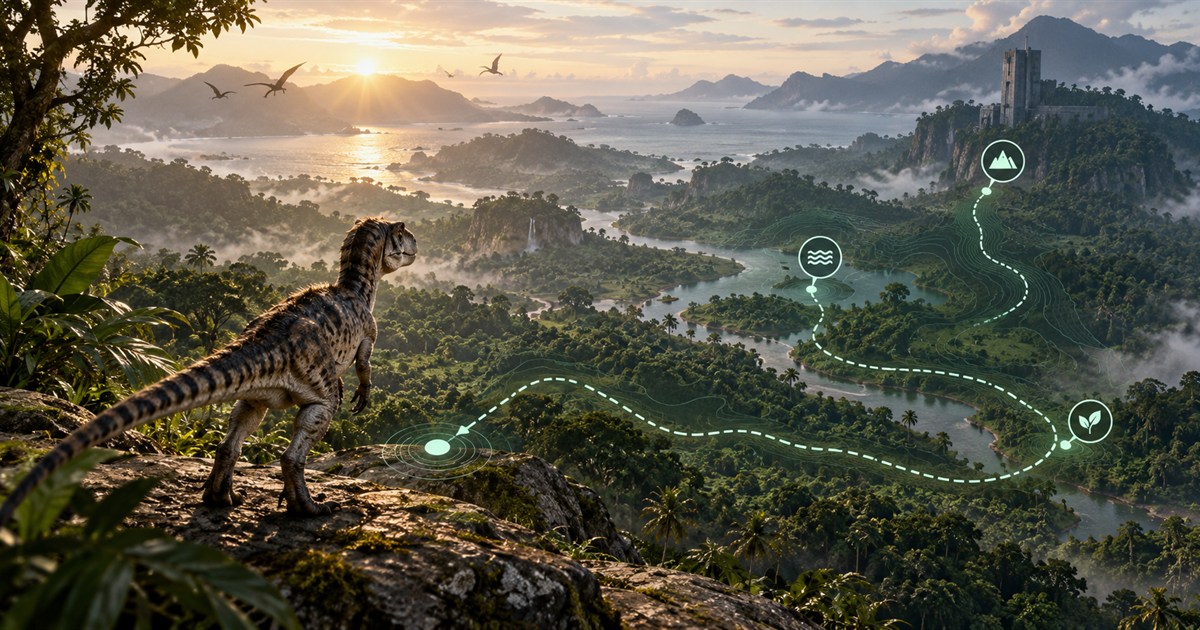
Getting started on The Isle: EVRIMA Gateway becomes much easier when you solve four problems in the right order: locate yourself, find drinkable water, identify food for your dinosaur and choose recognizable landmarks for the journey. This beginner map guide turns those needs into one practical survival route instead of sending you toward isolated icons.
Open the in-game Tab panel and use Asset Location to place yourself on the Gateway map. Enable Drinking Water, Location Names and Landmarks first. Add only the plant or animal filters relevant to your dinosaur, then plan a covered route that reaches water before a longer food journey. Refresh your position whenever you open Tab so small navigation errors do not become a long detour.
What should a new player do first on Gateway?
Do not begin by running toward the first distant destination you recognize. A newly spawned dinosaur has limited information, and Gateway's dense jungle, similar-looking river bends and changes in elevation can quickly hide your original direction. Spend the first minute building a simple picture of your surroundings.
- Stop somewhere with cover. Listen and look before opening a panel or studying the map.
- Capture your Asset Location. This gives you a reliable point on the current Gateway map.
- Check nearby drinking water. Water is the first fixed part of your route.
- Select the correct food filters. Your species and diet determine which resources are useful.
- Choose one landmark. A river, road, ridge or structure helps you maintain direction between updates.
This order prevents a common beginner mistake: travelling a long distance for food and discovering too late that the route leaves no convenient water nearby.
How to find your location on The Isle EVRIMA
The in-game Tab panel displays Asset Location coordinates. Those coordinates are the most direct way to determine where you are on Gateway. TheIsleMinimap supports two local update methods:
- Manual clipboard capture: click the visible Asset Location coordinates in the Tab panel. The game copies them, and the app recognizes the valid coordinate value without requiring you to paste it.
- Optional screen reading: select the visible Asset Location area in Settings > Position Updates. When the panel appears in the foreground game, matching local readings can update the position marker automatically.
Screen content used for coordinate reading stays on your computer. The app does not inject into The Isle, inspect game memory or discover hidden players. Read the complete Asset Location and coordinate guide for setup and troubleshooting.
Use coordinates and landmarks together
A position marker answers “where am I now?” A landmark answers “which direction am I moving?” Use both. After capturing your coordinates, compare the map with visible features such as a river curve, coastline, mountain silhouette, road junction or concrete structure. If the terrain no longer matches the feature you expected, update your position before continuing.
How to find water on The Isle Gateway map
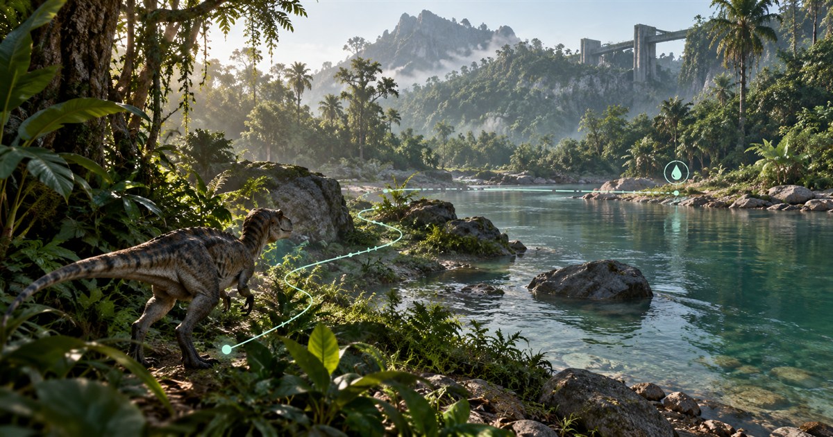
Enable the Drinking Water layer to see mapped drinkable areas, then compare at least two possible sources. The nearest water on a straight line is not always the best choice. A slightly longer route may provide more tree cover, avoid a cliff or approach the bank from terrain you can leave quickly.
Before moving, check these questions:
- Can your dinosaur cross the terrain between you and the water?
- Does the route keep you near cover, or expose you across an open field?
- Is there a recognizable river bend, road or landmark near the destination?
- Where will you go after drinking?
A map shows geography, not whether another player or danger is currently waiting at the bank. Slow down before entering an exposed shoreline, use your senses and keep an exit route in mind.
How to find food in The Isle EVRIMA
There is no single “show all food” answer that is equally useful for every dinosaur. Start with your dinosaur's current diet information in the game, then enable the matching filters on the Gateway map layers.
- Herbivores and omnivores: use the Plants tab to choose the fruits, nuts, vegetables, flowers, plants or mushrooms relevant to the diet you are following.
- Carnivores and omnivores: use the Animals tab to display mapped land or aquatic species references individually.
- Special resources: keep Earthworks resources separate so clam rocks and gastrolith markers do not clutter ordinary diet planning.
Use these markers as navigation references rather than a promise that a resource or animal is present at this exact moment. Spawns, availability, server conditions and game updates can change what you encounter. Your in-game scent, diet panel and immediate surroundings remain the authority for the current session.
Build a food route around water
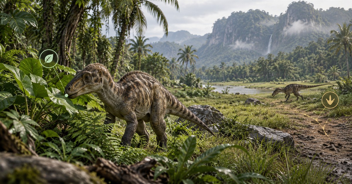
After selecting the right food layer, look for a route that connects food with a dependable water source. A useful plan has three parts: a water stop, a food area and terrain that lets you move between them. If the food marker is far away, identify an intermediate landmark and another possible water source before leaving.
For herbivores following an active objective, combine the relevant resources with the zone shown by the game. Our migration, patrol and sanctuary guide explains how those objectives differ and why not every displayed zone is active for every dinosaur at the same time.
The best Gateway landmarks for staying oriented
Good landmarks remain recognizable from more than one angle. Large structures, distinctive ridges, coastlines, rivers and major road junctions are more dependable than one tree or a small clearing. Enable Location Names, Landmarks, and optionally Roads and Trails while learning the map.
Use a three-point navigation check:
- Current position: capture Asset Location before starting the leg.
- Intermediate landmark: choose something you can recognize before reaching the destination.
- Destination feature: know what river shape, structure, road or terrain change confirms arrival.
If one of those points stops making sense, update your coordinates rather than guessing. Small corrections are safer and faster than recovering after ten minutes in the wrong direction.
Keep the Gateway map readable
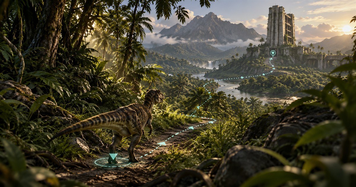
More markers do not automatically create a better route. Begin with Drinking Water, Location Names and Landmarks. Add one relevant food group, then enable roads, caves, mud, salt licks or zone layers only when they help the current decision. The four layer families—General, Animals, Plants and Earthworks—can be controlled independently.
This approach also makes the map easier to read while playing. You can keep frequent actions in the Quick Access sidebar, use Follow Player when zoomed in and enable a movement trail when you need to understand the path already travelled.
A simple Gateway beginner route
- Find cover and capture Asset Location.
- Turn on Drinking Water, Location Names and Landmarks.
- Choose a reachable water source and one intermediate landmark.
- Select only the plant or animal filters relevant to your current diet.
- Plan the next food destination from the water area instead of treating both journeys separately.
- Update your position whenever you open Tab, especially after changing direction or crossing dense terrain.
- Reassess when the game changes your objective, your diet needs change or the expected resource is unavailable.
Players on supported official and community servers can use the same Gateway geography and coordinate workflow. The map does not require a server plugin or administrator access; the server must be running the supported EVRIMA Gateway map and coordinate format.
The Isle Gateway beginner map FAQ
How do I know where I am in The Isle?
Open the in-game Tab panel and capture the displayed Asset Location coordinates. TheIsleMinimap can recognize a manual coordinate copy or read the selected visible coordinate area locally when optional screen reading is enabled.
Where can I find drinking water on Gateway?
Enable the Drinking Water layer and compare the mapped sources around your current position. Choose a route based on terrain and cover, and remember that a map cannot tell you whether another player is currently near the bank.
Where can I find food in The Isle EVRIMA?
Check your dinosaur's current diet information in the game, then enable the corresponding Plant or Animal filters. Mapped resource markers are references; availability can vary with the server, current session and game updates.
Can TheIsleMinimap show other players?
It does not detect hidden or public players. Squad plans can display the latest captured positions shared by invited members of a private squad of up to four players.
Does this Gateway map work on community servers?
Yes, when the community server uses the supported EVRIMA Gateway map and coordinate format. The same applies to official servers.
What map layers should a beginner enable?
Start with Drinking Water, Location Names and Landmarks. Add the food filters relevant to your dinosaur, then enable other layers only when they help answer a specific navigation question.
Keep water, food, landmarks and your latest Asset Location together in one Windows minimap.