
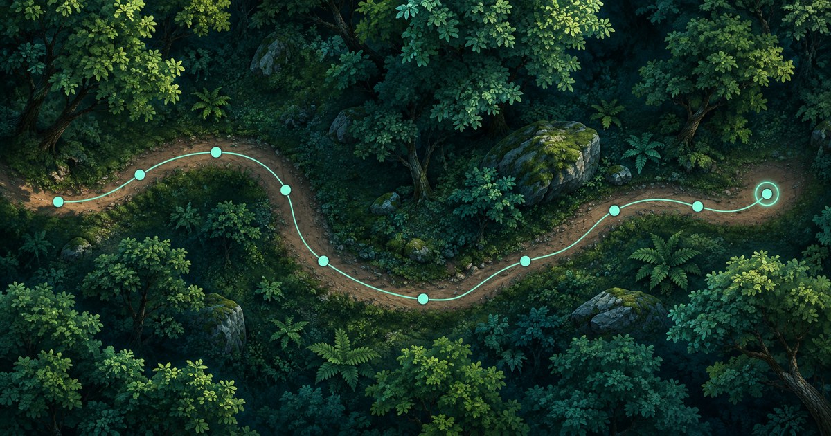
The movement trail joins your ten most recent captured positions, giving you a short reminder of where you have just been. Enable it in Settings > Map Settings > Movement Trail. It is useful for spotting a recent turn or loop, provided you understand that the points come from position updates rather than continuous tracking.
The trail keeps up to ten different consecutive positions, stays on your PC and clears when you switch it off. A line between two points is a connection between captures, not proof of the exact path you walked.
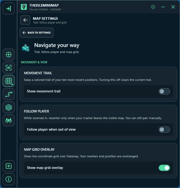
Checked against the current app on 8 November 2026. The cover is an AI-generated conceptual illustration; its mint points are illustrative, not the app's actual red-to-green trail colours or real Gateway geography. The settings screenshot below is from the app.
Where to turn on the movement trail
- Open Settings in TheIsleMinimap.
- Choose Map Settings.
- Under Movement Trail, enable Show movement trail.
- Return to the map and capture your position. Move to a different position in-game and capture it again to begin seeing a connected trail.
This is separate from Position Updates. The trail switch controls the history drawn on the map; it does not select a screen-reading mode or make coordinates appear. If your current marker is not updating, set up that part first using the app tutorial.
You can also place the movement-trail toggle and reset action in Quick Access if you use them often. Choose the shortcuts you actually need rather than adding every available control. The features page summarises these map controls alongside the other tools.
What do the points and colours mean?
The trail holds a maximum of ten positions. When another different position is added beyond that limit, the oldest point drops out. Reading the same coordinates again does not fill the trail with repeated points at one location.
In the app, older trail points are towards the red end of the colour range and newer points towards green, with intermediate colours between them. Use that progression to distinguish the direction of recent updates. Your player marker remains your latest accepted position.
The colour progression represents order within this short trail, not a clock. It does not tell you that a red point was captured a fixed number of minutes ago. Ten closely spaced updates can cover a small area; ten widely spaced updates can cover a much longer trip.
The trail also differs from roads and paths in Map Layers. Those are map references. Your movement trail comes from your own position captures, so it changes as you supply new locations.
Why the trail can cut across a bend or appear to stop
Suppose you capture a position before entering a winding stretch of terrain, walk around two bends and only then capture another position. The app has those two endpoints, not every step between them. The line joins them directly, even if you took a curved route.
For a more useful reminder of turns, capture a position at the junctions or other decisions you want to recognise later. There is no need to interpret a long straight connection as a shortcut you should try to walk. Check the terrain yourself before using it as a route.
Position captures still depend on the mode you chose. In key-based reading, open Asset Location with your configured game key so the coordinates can be read. In automatic reading, keep that coordinate area visible for updates. With manual copying, click Asset Location to supply the coordinates.
When the coordinate panel is hidden and you have not copied a new position, walking alone does not extend the trail. The app works from the position information you provide. The coordinate guide covers that distinction in more detail.
Reset the trail without moving your marker
With the trail enabled, use Reset Trail on the map to clear the old history while retaining your current position. New captures can then build a fresh trail from there. This is useful when you finish one trip and want the next few points to describe a new task.
Switching Show movement trail off clears the trail as well as hiding it. Turning it on again does not restore the cleared points. If you only want to inspect a wider area, zoom out or pan instead of switching the feature off.
Follow Player is independent: when enabled, it recentres the view if a position update moves your marker outside the visible map. It does not generate extra trail points. Zooming and moving the view likewise change how you look at the history, not which positions were captured.
Three useful ways to use a short trail
| Situation | Useful habit |
|---|---|
| Similar-looking junctions | Capture at each decision so you can recognise the most recent turn. |
| You suspect you are circling | Zoom out and compare recent points with a named reference before choosing another direction. |
| Starting a new resource trip | Reset the old history, then capture the checkpoints that matter for this journey. |
A trail is a short memory aid, not a saved expedition log. If you need to remember a place after it falls out of the last ten points, use a suitable pin instead. Solo players can save up to three personal pins; these serve a different purpose from recent movement history.
Does the trail work for Solo and Squad players?
Yes. The local movement trail is available for either type of access. Your complete trail is not shared with your squad. Shared friend markers show their latest supplied positions, rather than giving you each friend's movement history.
It also does not track other animals, reveal hidden players or follow footprints left in the game. The app's position history, map animal references and The Isle's own tracking clues are different things. Use the tracking guide if you meant finding another animal from in-game evidence.
Movement trail troubleshooting
- No line yet: check the switch, then capture two different positions. One point does not make a route.
- The marker and trail both stay still: check Position Updates and provide fresh visible or copied coordinates.
- The marker updates but old points vanished: only ten points are retained; switching the trail off also clears it.
- A line crosses water or steep ground: it connects two captures. It is not a generated walking route.
- I cannot see my friend's trail: trails remain local; Squad sharing supplies friend markers instead.
When asking for help, describe whether the player marker changed, whether you saw any trail points and how you supplied the latest coordinates. Those observations make it easier to distinguish a trail setting from a position-update problem. You can reach support through your Account Portal.