
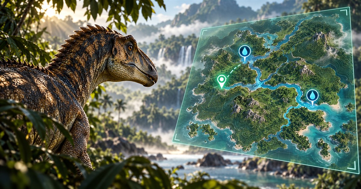
Trying to find drinking water in The Isle EVRIMA? On Gateway, a useful plan starts with knowing where you are, choosing a reachable source, and checking how you will approach it. Seeing water on a map solves a navigation problem; it does not tell you who is waiting near the bank.
Refresh your position with Asset Location, enable Drinking Water in TheIsleMinimap's General map layers, and compare nearby references with the route you can actually travel. Choose a fallback before thirst becomes urgent. At the destination, check the live surroundings and confirm the game offers a drinking interaction. No marked water source is guaranteed safe from other players.
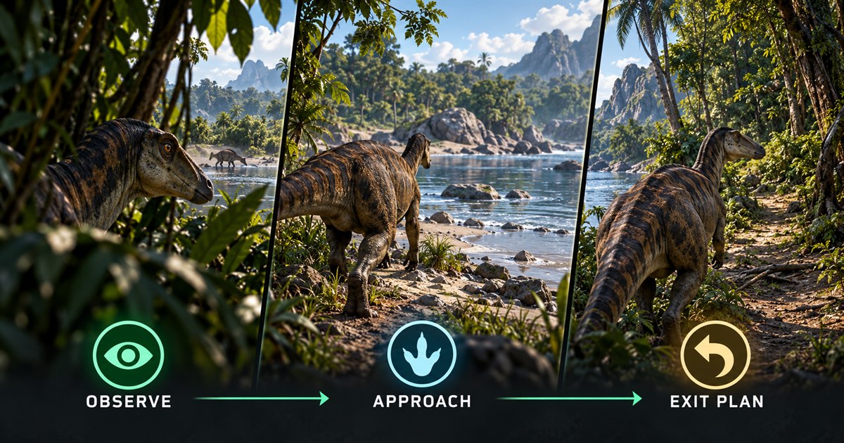
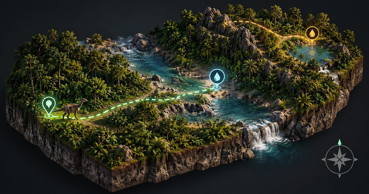
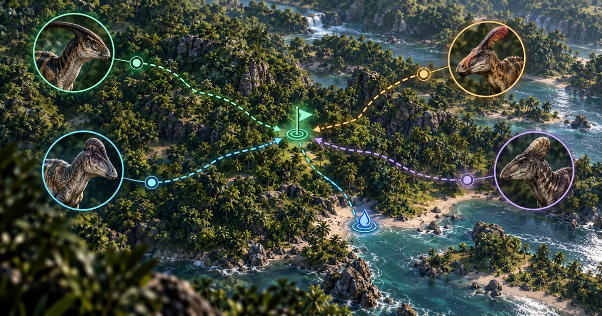
The four images in this guide are AI-generated illustrations. Maps, icons and routes explain navigation concepts; they are not gameplay screenshots, exact Gateway locations, app screenshots or verified drinking spots.
How to find drinking water in The Isle EVRIMA
The first step is to place yourself on the correct map. Open the in-game Tab panel and click Asset Location to copy your coordinates for a manual marker update. If you use optional screen reading, make sure latitude and longitude are visible in the approved reading area. The minimap needs a current reading, not the location from an earlier part of your journey.
Then open Map Layers Settings and enable the General layer group and its Drinking Water filter. Add Location Names or Landmarks if they help you recognize the destination. Keep unrelated resource filters off when they make the map harder to read. You want a clear answer to three questions: where am I, where is the next water reference, and how will I get there?
Use the EVRIMA coordinates guide if your marker does not seem to match the terrain. The Gateway map layers guide explains the available navigation filters. The app is a companion for the supported EVRIMA Gateway map, not a replacement for checking what is happening in your game.
The closest water marker is not always the simplest journey
A source that looks nearby in a straight line may involve a steep descent, a river crossing or a detour through exposed ground. Before committing, compare the approach with your dinosaur's condition and the landmarks you can recognize. A slightly longer route that you understand can be preferable to a short-looking route whose terrain you have not checked.
- Check thirst, stamina and your condition. Leave enough time to change plans instead of waiting until the destination is your only option.
- Refresh your position. Recheck after a long detour, a chase or a respawn so you are planning from the right starting point.
- Pick a recognizable approach. Use nearby landmarks and visible terrain rather than treating the map as a straight-line instruction.
- Plan the way out. Think about where you can retreat if the shoreline is occupied or the approach feels wrong.
- Choose a fallback. Identify another achievable source before investing your remaining time in the first one.
Do not use a map marker as a reason to jump down unfamiliar terrain or enter water you cannot assess. Navigation information helps you make a decision; it does not measure the safety of a particular slope, crossing or bank.
Are there safe drinking spots on Gateway?
When players search for The Isle safe drinking spots, they usually want to reduce the chance of losing their dinosaur while getting water. That is a sensible goal, but no location in this guide is described as completely safe. A quiet bank can become busy, and a familiar route can have different players on it next time.
Before approaching, look at the water, the nearby shore and the route behind you. Notice activity you can actually see or hear in the game. Decide whether you can leave without immediately entering difficult terrain. A lack of visible movement is not proof that nobody is nearby, so avoid treating a brief check as a guarantee.
The Drinking Water layer shows mapped water areas. Check the shore and surroundings in-game before approaching.
For the same reason, this guide does not recommend supposedly invulnerable ledges or specific coordinates as universal safe spots. Advice tied to an older build or a particular dinosaur may not apply to your current situation. Check the terrain and game conditions yourself rather than relying on a promise from a screenshot.
Plan the approach and the return together
It is easy to concentrate on reaching the water and forget what happens next. Before walking to the bank, choose a direction to leave and a recognizable point to return to. If the approach is crowded or you notice activity, you can reconsider before you are committed to that edge.
Keep the route appropriate to your dinosaur. A journey that works for one player's movement abilities, stamina and size may be a poor choice for another. Watch the actual terrain as you travel; the minimap provides context but cannot decide whether every obstacle is passable.
After drinking, refresh your position when needed and continue toward your next planned destination. If you are also searching for food, combine the journeys without assuming that a nearby animal or plant reference guarantees something available right now. The EVRIMA AI spawns guide covers animal searches, while the food and diet guide explains how to keep food choices relevant to your dinosaur.
What if you reach water but cannot drink?
First, use the game itself to confirm whether a drinking interaction is available. Do not assume that every visible body of water is interchangeable or that a blue area on a map confirms a usable interaction at your exact position.
Check that you reached the intended reference rather than a different section of shoreline. Refresh Asset Location, compare the nearby landmarks and inspect the approach. If the interaction still does not appear, do not spend all your remaining time repeatedly trying the same point. Reassess and use your planned fallback if you can reach it.
Keep the game and app current. Returning players should check The Isle's official update announcements rather than assuming older terrain advice still applies. Community servers may also have their own rules and information. A reference layer does not override those conditions.
This is a navigation guide, not a diagnosis of every possible drinking bug. If you suspect an actual interaction problem, record the current game build, server and location before asking for help. That makes it easier to distinguish a route mistake from a reproducible game issue.
Finding water when playing with friends
TheIsleMinimap's private squads support up to four players. Agree on the source you intend to investigate and a regroup point away from the immediate bank. Keep each participating player's position current so nobody navigates toward an old marker.
Plan around the member with the most urgent thirst or the least suitable travel condition. If you become separated, share a recognizable meeting point instead of repeatedly changing the destination. The shared pin can help communicate that point, but it does not confirm that the surrounding area is clear.
Squad markers show participating members' shared positions, not every dinosaur on the server. Read the online map and multiplayer squads guide for the position-sharing workflow and the Asset Location reading guide for setup.
The Isle EVRIMA drinking water FAQ
How do I find water in The Isle EVRIMA?
Refresh your coordinates, enable Drinking Water on the supported Gateway map and choose a reachable reference with a route you can recognize. Confirm the destination and drinking interaction in the game.
Does TheIsleMinimap show safe drinking spots?
It shows drinking-water references, not a live safety rating. A marker does not reveal hidden players or guarantee that a bank is safe.
Why does my position look far from the water when I am beside it?
Check that you are using a current Asset Location reading and the supported map. Refresh after movement or respawning, then compare nearby landmarks. A saved earlier position may not represent where you are now.
Can I use the water layer on community servers?
Yes, when the server uses the supported EVRIMA Gateway map and coordinate format. Check its rules and current conditions; the minimap does not change server settings.
Should I leave every map layer enabled?
Not necessarily. Start with Drinking Water and useful navigation references, then add other filters only when they help your current journey.
Use your current position, Gateway drinking-water references and navigation layers together in TheIsleMinimap for Windows.