
A cave entrance is a place to assess, not a promise of a shortcut or shelter. Before entering a Gateway cave or tunnel in The Isle EVRIMA, identify the way back, check whether your character can use the passage and decide how far you can investigate without losing track of the exit. A map reference helps you approach the area; the game shows whether the route is actually usable.
This guide offers practical exploration advice and explains the Caves & entrances layer in TheIsleMinimap 1.7.1. The three AI-generated illustrations depict fictional places and a hypothetical cave layout. They are not actual screenshots, underground maps, verified connections or directions through a real Gateway cave.
Understand cave and tunnel references
TheIsleMinimap's cave data distinguishes tunnel exits, cave exits, deep exits and underwater areas. These categories help describe the reference being displayed. They do not establish the complete shape of a passage, the character size it accepts or a guaranteed connection between two markers.
| Reference type | How to use it | What it does not establish |
|---|---|---|
| Tunnel exit | A point to compare with a visible tunnel opening. | A complete, currently traversable route to another exit. |
| Cave exit | A reference for approaching a mapped cave opening. | Which chamber you are in or whether another animal is inside. |
| Deep exit | A point categorised as a deeper exit reference. | A depth reading, guaranteed air access or an easy return. |
| Underwater area | A reference for a mapped underwater patch. | A navigable entrance point or an underwater route. |
Underwater area markers are not entrance pins. In the current app data they represent the centres of mapped water patches. Heading directly to that centre does not tell you where an opening is, whether you can reach it or how to leave.
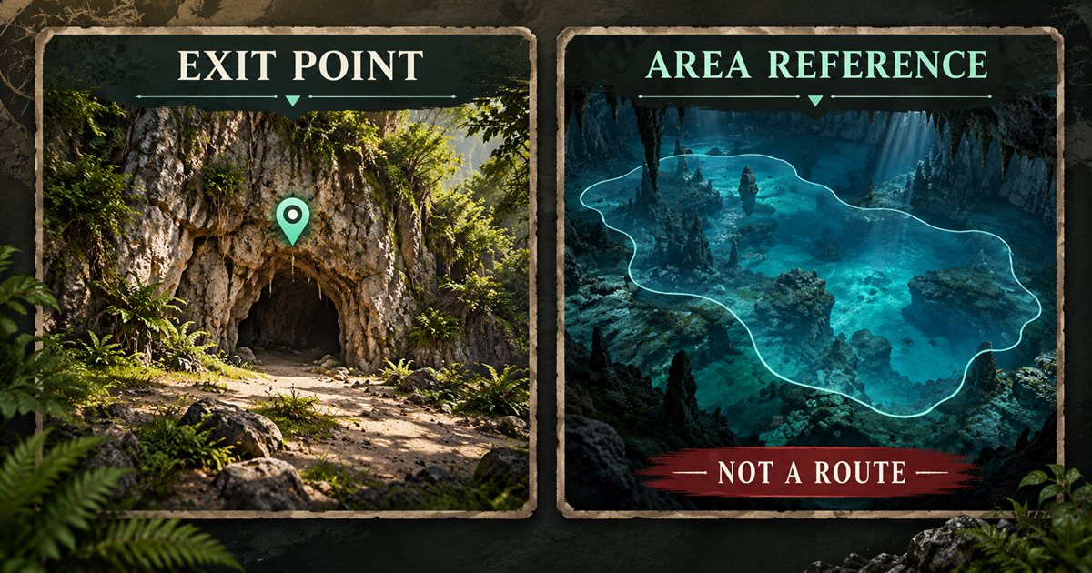
Gateway also changes with game updates. The official 0.20.109 notes, for example, include a port-tunnel texture fix alongside terrain changes. That historical record is a reason to compare references with your current build, not a guarantee that an older route description remains exact.
Check the entrance before entering
Pause outside the opening and look at its approach. Check the slope, water, visibility and room to turn. Arriving at a marker from the wrong height or side of a rock formation can make a nearby opening difficult to find; moving blindly toward the point is not always the answer.
Next, inspect your character's condition. Low stamina, an injury or a need for water can make an optional exploration trip harder to justify. Decide whether you are passing through, investigating a landmark or trying to escape something. Each purpose needs a different level of commitment.
Check the space you will need to return as well as the space you can enter. A small opening, awkward turn or drop deserves attention before you cross it. Do not assume that a passage which looks accessible from one angle is suitable for every species and growth stage.
- Identify the last clearly recognisable point outside.
- Inspect the first bend before moving beyond it.
- Keep enough room and resources to turn back where possible.
- Listen and look for activity without treating silence as proof that the cave is empty.
- Stop if you cannot explain how you would return from the next section.
Keep a return plan rather than following curiosity
Use short exploration segments. Move from a known entrance to one recognisable feature, look back and confirm that you can retrace that section. Only then consider going farther. A distinctive rock, bend or patch of daylight can be more useful than trying to remember several similar chambers at once.
At a junction, remember the direction you came from before inspecting the branches. Avoid repeatedly switching branches just because both seem to head toward a marker. A flat map does not reveal which bend or vertical level leads to the point you see above it.
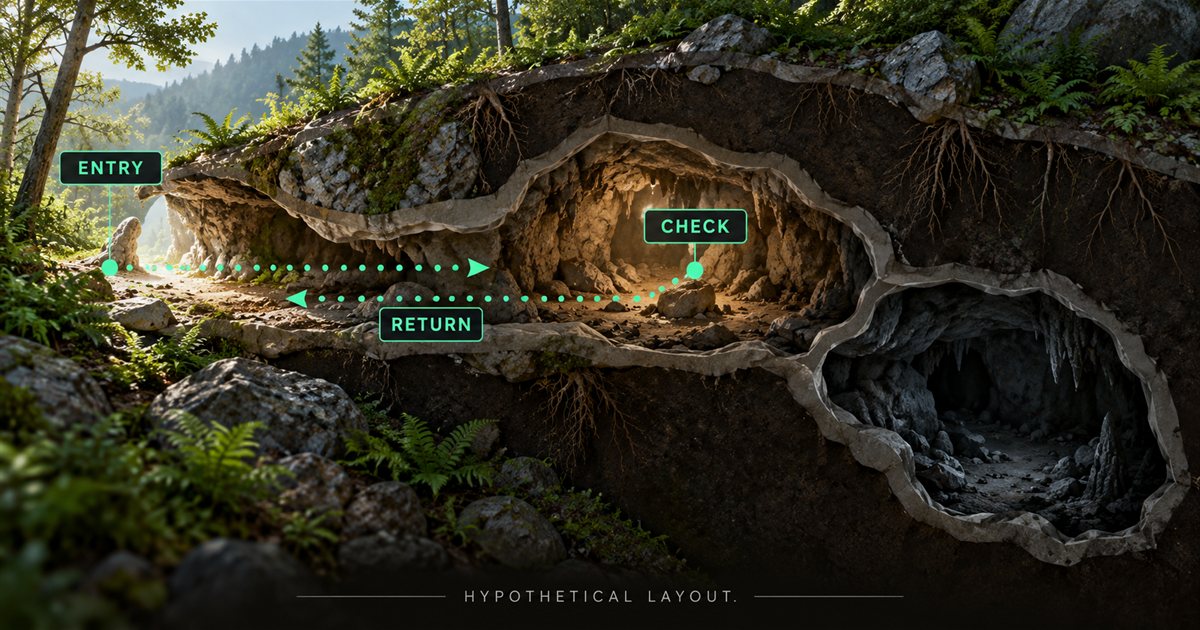
If visibility or movement changes, shorten the plan. Turning back while you still recognise the route is easier to reason about than continuing until every corridor looks unfamiliar. The night vision guide covers visibility choices without suggesting that vision reveals hidden players.
Do not rely on someone else's claimed cave travel time. Their animal, condition, familiarity and game version may differ from yours. This guide does not provide a current cave sprint time, oxygen budget or universal safe turning point.
Treat underwater exploration as a separate decision
A surface entrance and a submerged area involve different return problems. Before going underwater, identify a usable route to air and know the controls you need to return. The fact that the app displays an underwater reference does not establish a breathing pocket or an accessible opening.
Watch the game's oxygen and movement feedback directly. If the route becomes unclear, return while you can still identify it instead of extending the dive to search for a hoped-for opening. A destination marker does not measure the effort needed to reach the surface.
Cave markers show mapped entrances and exits rather than a three-dimensional passage. See the Beipiaosaurus guide for underwater practice and the Deinosuchus guide for aquatic context.
Use the companion without losing context
Open Map Layers Settings, choose General, enable General layers and select Caves & entrances. This single filter controls the cave-reference collection; the four reference categories are not four separate individual filter switches.
Add Location names or Landmarks if they help you approach the correct area. Hide unrelated resources when they crowd the view, then obtain a fresh screen-reader or clipboard position update. The map layers guide explains the group and filter controls.
Map placement uses Lat and Long, with altitude ignored. Your horizontal marker therefore cannot tell you which floor, ledge or chamber you occupy. Two places above one another can look similar on the flat map. Compare the actual environment rather than treating alignment with an exit marker as proof that you have reached its opening.
The optional movement trail shows only your ten most recent captured positions and stays local. It is not a complete underground breadcrumb record, a recorded cave survey or a route that the app can automatically retrace. Switching it off clears it. Use remembered visible landmarks and the game scene as your main return context.
Explore with a group deliberately
Agree on the entrance and immediate objective before the group splits up. Tell companions when you are turning back instead of assuming everyone is following the same branch. A shared destination is useful for coordination only when everyone understands what the point represents.
TheIsleMinimap squads share the latest supplied positions and one destination pin. They do not share a complete movement trail or identify the passage connecting you to a teammate. If their marker seems nearby but they are not visible, consider different height, another chamber or an older reading before chasing it through unfamiliar terrain.
Use the squad troubleshooting guide if position delivery is unclear. Avoid mixing a navigation question with a connection question: a connected teammate may still be sharing coordinates captured before their latest movement.
Respond when the route is unclear
| Problem | Useful check |
|---|---|
| A marker seems to be inside solid rock. | Check your current position, height and approach side; do not assume the point is a visible doorway from your angle. |
| An underwater marker has no obvious entrance. | It may be an area reference. Do not treat its centre as an access point. |
| You cannot see the cave layer. | Check both General layers and Caves & entrances, then inspect the relevant map area. |
| A teammate looks close on the map. | Compare fresh coordinates and actual chamber or height before choosing a route. |
| You are losing track of the exit. | Stop adding unknown segments and use the last recognisable return context. |
For an app reference problem, open an Account Portal support ticket with your app version, the relevant area and a redacted screenshot. Do not delete settings folders or change calibration just because a horizontal map cannot show an underground level.
Quick answers
Does a cave marker mean the location is safe?
No. It does not report occupancy, predators, collision conditions or a guaranteed escape route.
Can I use the map as a complete tunnel plan?
No. Cave references are points and areas, not a full connected underground navigation map.
What should I check after leaving?
Obtain a fresh position, reorient using visible terrain and reassess your next destination. The roads and trails guide covers planning the surface journey.