
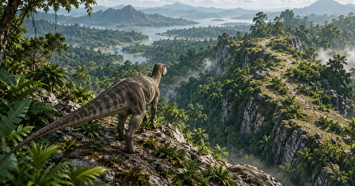
A short line on the Gateway map can become a difficult journey when it crosses a cliff, steep slope or concealed drop. Before committing to a descent in The Isle EVRIMA, inspect the ground you can actually see and identify where the route ends. Your dinosaur needs a usable approach, not just a destination.
Slow down before reaching the edge, inspect the next section and its exit, check your condition and leave room to choose another route. If you cannot see a practical continuation, use a longer approach or another checkpoint instead of testing the drop with your dinosaur.
This is a route-assessment guide, not a fall-damage calculator. The three AI-generated illustrations explain terrain choices; they are not exact Gateway slopes or verified safe paths. Current game movement, species, growth stage and the ground in front of you matter more than the apparent distance on a flat map.
Hill sliding is part of the public EVRIMA movement system
The developer's public 0.21.734 notes enabled hill sliding and slowdown. Later 0.21.772 notes included fixes for hill-slide state, knockdown on small slopes, momentum and slope-related stamina behaviour. See the official release announcements for those changes.
The practical lesson is to reassess a slope in your current game rather than copying an old descent at full speed. A route filmed before a movement change, with another species or under different conditions is a reference to investigate, not proof that your approach will behave identically.
Do not plan around a universal angle at which every dinosaur slides or a fixed height every animal survives. Observe how your present dinosaur moves before depending on a difficult section. The guide does not promise that crouching, jumping or holding a particular modifier prevents a slide or cancels fall damage.
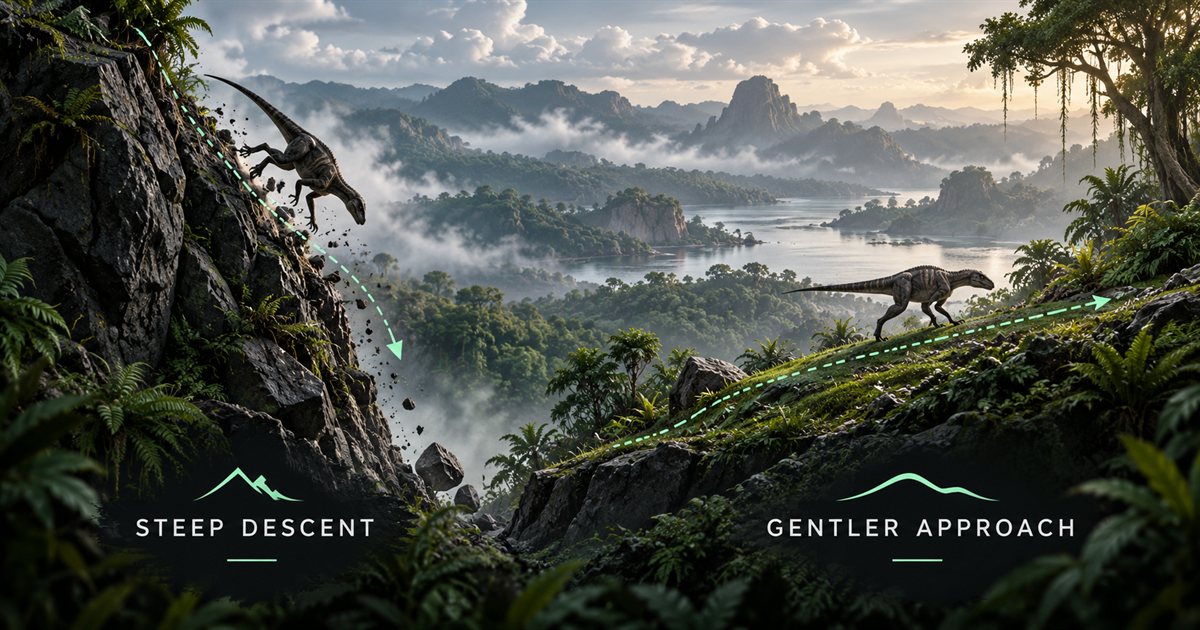
Inspect a descent while you still have room to change it
Reduce speed before reaching the edge, rather than waiting until the downward movement has already begun. Look at the immediate ground, the next landing or foothold, and the space beyond it. Foliage, a sharp change in slope or a rock can hide the continuation from your first viewing angle.
- Stop or slow down with space between you and the edge.
- Look for the full next section, including where you would end up.
- Check whether another angle reveals a gentler approach.
- Inspect what happens if you need to turn, stop or return.
- Compare the route with your current stamina and condition.
- Choose another approach if you cannot establish a practical continuation.
A visible patch below you is not necessarily a usable landing. Consider what lies immediately after it: another drop, water, dense obstacles or a narrow shelf may leave you with fewer options than the starting position. Break the journey into ground you can inspect instead of committing to several unseen sections at once.
Do not use another player's fall as your only measurement. Their animal may have different capabilities or condition, and a landing you saw from above may not reveal the damage they took. Ask what happened and assess your own route.
A flat Gateway map cannot settle every elevation question
Use the map to orient yourself among location names, landmarks, water and mapped paths. Then compare those references with the game. Two markers that appear close can be separated by a steep face, and a straight line toward a destination can cross ground you cannot comfortably traverse.
TheIsleMinimap places your position from accepted coordinates. It does not inspect the slope under your feet, measure a safe fall height, calculate a guaranteed route or show every obstacle in three dimensions. A destination pin identifies the agreed point; it does not certify every line leading toward it.
Refresh Asset Location before choosing the next leg, particularly after a detour or a respawn. The coordinate guide covers that workflow. If the starting marker is old, even a carefully considered route can begin from the wrong assumption.
Mapped roads and trails can provide useful orientation, but inspect their approaches and junctions too. The roads and trails guide explains that wider route-planning process. A reference line does not remove the need to look at the actual ground.
Adjust the plan for visibility and the dinosaur you have now
Darkness, rain and thick vegetation reduce how much of a descent you can judge from a glance. Shorten the next objective until you can inspect it. If the exit remains unclear, wait or choose another approach rather than using sprint to get through an uncertain section more quickly.
The night-vision guide and weather guide cover those visibility checks. Neither a map nor a visual aid makes an unseen landing suitable merely because the destination marker is easy to find.
Check stamina and injuries before committing. An animal that has just escaped an encounter may need a different route from the healthy dinosaur you were controlling earlier. The stamina guide and injury guide help connect the travel decision with the condition shown by your game.
Use checkpoints to keep a long journey manageable
Choose the next place where you can inspect direction and terrain again: a visible ridge approach, a recognisable tree line or a path junction. Keep that checkpoint close enough to understand how you will reach it. Once there, refresh your position if needed and decide on the following section.
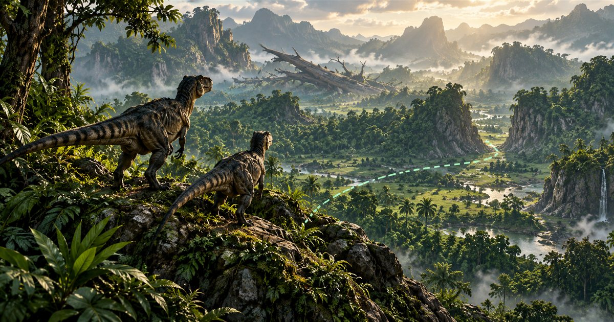
For example, if water lies below a ridge, first inspect a way around the steep face. Reach the visible approach, check the final bank and then decide whether to continue. A longer route can be a better choice when it gives you clearer information and room to turn back.
Keep your immediate needs in view. A detour that solves a terrain problem can create a food or water problem if you never reassess the journey. Choose another objective when the original one no longer fits your resources or current position.
Travelling over hills with friends
Say when you stop to inspect a section, and describe the actual obstacle. A friend may see your map marker near theirs while standing on another level. Explain that you are above the bank, behind the ridge or approaching the junction rather than saying only that you are close.
Let each player inspect the approach for their own dinosaur. One person finding a way down does not guarantee every life stage or injured member can follow it. Avoid crowding an edge while waiting for the next movement, and choose a different meeting point if the approach does not suit the group.
Squad plans can help up to four players compare their latest shared positions and one destination pin. The app does not see a companion's exact elevation or live condition. The grouping guide explains the separate in-game pack and herd setup.
If an approach starts going wrong
Use the game's available movement controls and inspect the situation instead of relying on an unverified emergency key combination. After recovering control, check your condition and where you actually ended up before starting the next leg. If injured, reassess rather than repeating the same descent immediately.
If the movement looks inconsistent, note the species, growth stage, condition, location and what you pressed. A short recording of the approach can help distinguish terrain behaviour from an input or collision problem. Repeatedly testing the same drop with valuable characters is not necessary to make a useful report.
EVRIMA terrain questions
Does walking prevent every slide?
No universal protection is promised. Assess the actual slope and your dinosaur's response.
Can the minimap calculate a safe drop?
No. It supplies map references and accepted position updates, not a fall-damage calculation or three-dimensional route guarantee.
Is the shortest map line the best route?
Not necessarily. Compare the terrain, your condition and the options available if you need to change the plan.